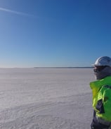
Geophysics Surveying Training Service
Specialized in teaching survey techniques, data analysis, and interpretation for various industries.
Data Analysis Interpretation
Teaching tailored solutions for mapping subsurface geological anomalies in any environmental setting
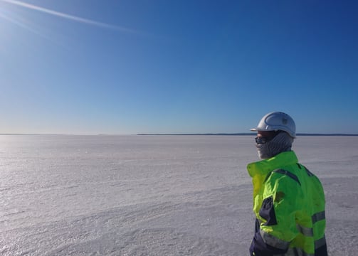
Learn about a broad range of survey methods and their hazards or constraints.
Helpful knowledge and insight to industry-specific applications of geophysical surveys
Survey Techniques Methods
Broad Range Expertise
What is a Geophysicist?
A geophysicist is like a detective who studies what's under the ground. They use special tools and techniques to understand things we can't see. Geophysicists use things like sound waves, electrical currents, and even satellites to "see" underground. Using these methods and techniques can characterise:
What types of rock and soil are below the surface
Where underground water is located
If there are any hidden gaps or weak spots in the earth
A geophysicist studies the physical properties and processes of the Earth using principles of physics. This can be helpful to:
Investigate Earth's structure, composition, and dynamics
Use tools like seismographs, magnetometers, and gravity meters
Analyze data to understand earthquakes, plate tectonics, and natural resources
Apply their findings to predict natural disasters and locate oil, gas, or minerals
Work in diverse settings from laboratories to field sites around the world
Geophysicists blend knowledge from geology, physics, and mathematics to solve complex Earth-related problems. Their work is crucial for resource exploration, environmental protection, and natural hazard mitigation.


100%
A+
Professional and reliable
Expertise guaranteed
Internationally recognised
Committed and Data Quality Driven


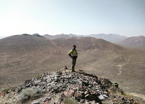
Geophysical Knowledge Base
Creating a better understanding of survey techniques, data analysis, interpretation for geotechnical and exploration sectors.
Broad Range of Survey Techniques
Offering various survey techniques and methods along with data analysis and interpretation guidance to coincide with pre-existing datasets.
Data Analysis and Interpretation
Be efficient in providing specialist data analysis and interpretation services for all types of data found in geotechnical and exploration industries.


Experts in ground-near surface geophysical surveying, processing, inversion, modelling, interpretation and analysis.
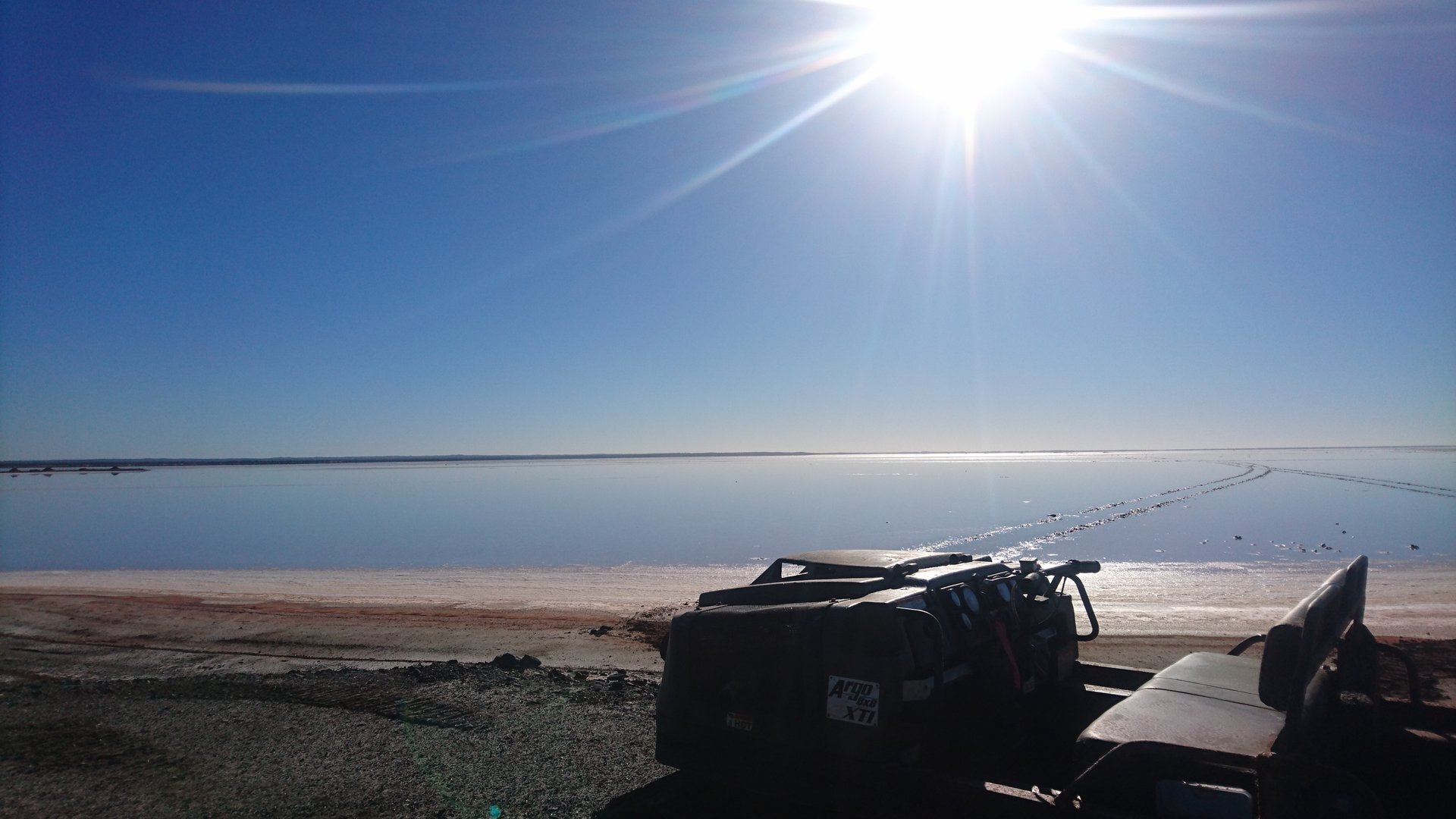
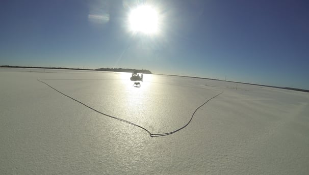
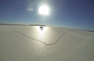
Learn the importance of regional and local geological mapping and interpretation of features encompassing necessary datasets to help identify survey suitability

Strategic Surveying Methods
Safety and Discretion Focused
Experienced Data Handling and Management
Highly Motivated
Exploration Industry
In the exploration industry, geophysicists play a crucial role in finding and evaluating natural resources, particularly oil, natural gas, and minerals. Here's an overview of their key activities:
Survey design and data acquisition:
Plan and oversee geophysical surveys
Use methods like seismic, gravity, magnetic, and electromagnetic surveys
Data processing and interpretation:
Analyze complex datasets using specialized software
Create 2D and 3D models of subsurface structures
Resource identification:
Locate potential reservoirs of oil, gas, or mineral deposits
Estimate the size and quality of these resources
Risk assessment:
Evaluate the probability of successful resource extraction
Assess geological hazards that could affect exploration or production
Collaboration:
Work with geologists, engineers, and other professionals
Provide insights to guide drilling or mining operations
Technology development:
Improve existing exploration techniques
Develop new methods for more accurate resource detection
Environmental considerations:
Assess potential environmental impacts of exploration activities
Help design exploration strategies that minimize ecological disruption
Economic analysis:
Contribute to cost-benefit analyses of potential exploration projects
Help determine the economic viability of resource extraction


Geophysics in the Geotechnical Industry
In the geotechnical industry, geophysicists play a crucial role in site investigation and characterization. Their work helps engineers understand subsurface conditions, which is essential for safe and efficient construction projects. Here's what geophysicists typically do in this field:
Site investigation: They use non-invasive methods to survey the subsurface before construction begins.
Soil and rock characterization: Geophysicists determine physical properties of subsurface materials.
Groundwater assessment: They locate water tables and assess aquifer properties.
Hazard assessment: Geophysicists identify potential geological hazards like sinkholes or unstable slopes.
Foundation studies: They provide data on soil and rock properties for foundation design.
Contamination mapping: Geophysicists can help locate and map contaminated soil or groundwater.
Infrastructure assessment: They use techniques like ground-penetrating radar to evaluate existing structures.
Data interpretation: Geophysicists analyze and interpret complex datasets to create subsurface models.
Seismic risk assessment: They evaluate potential earthquake risks for construction projects.
Collaborate with engineers: Geophysicists work closely with geotechnical engineers to inform design decisions.


Shepherd Exploration provided the utmost professional expertise when teaching us about the applications of certain surveys for our upcoming projects, Geophysics was a mystery before approaching these guys.
Elliot Parker

We were impressed with Shepherd Exploration's data analysis and interpretation capabilities. Highly recommend their opinion when it comes to anomaly characterisation and survey suitability. We just had no idea what and how Geophysics could be used and it really helped our budget to know more about it.
Sarah O'Niel
