Geophysics and Industry
Specializing in survey techniques, data analysis, and interpretation for geotechnical and exploration industries.
Exploration Industry
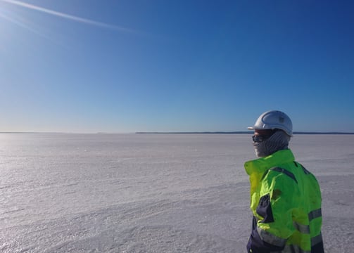
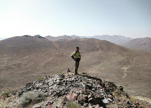
In the exploration industry, geophysicists play a crucial role in finding and evaluating natural resources, particularly oil, natural gas, and minerals. Here's an overview of their key activities:
Survey design and data acquisition:
Plan and oversee geophysical surveys
Use methods like seismic, gravity, magnetic, and electromagnetic surveys
Data processing and interpretation:
Analyze complex datasets using specialized software
Create 2D and 3D models of subsurface structures
Resource identification:
Locate potential reservoirs of oil, gas, or mineral deposits
Estimate the size and quality of these resources
Risk assessment:
Evaluate the probability of successful resource extraction
Assess geological hazards that could affect exploration or production
Collaboration:
Work with geologists, engineers, and other professionals
Provide insights to guide drilling or mining operations
Technology development:
Improve existing exploration techniques
Develop new methods for more accurate resource detection
Environmental considerations:
Assess potential environmental impacts of exploration activities
Help design exploration strategies that minimize ecological disruption
Economic analysis:
Contribute to cost-benefit analyses of potential exploration projects
Help determine the economic viability of resource extraction


Geophysics in the Geotechnical Industry
In the geotechnical industry, geophysicists play a crucial role in site investigation and characterization. Their work helps engineers understand subsurface conditions, which is essential for safe and efficient construction projects. Here's what geophysicists typically do in this field:
Site investigation: They use non-invasive methods to survey the subsurface before construction begins.
Soil and rock characterization: Geophysicists determine physical properties of subsurface materials.
Groundwater assessment: They locate water tables and assess aquifer properties.
Hazard assessment: Geophysicists identify potential geological hazards like sinkholes or unstable slopes.
Foundation studies: They provide data on soil and rock properties for foundation design.
Contamination mapping: Geophysicists can help locate and map contaminated soil or groundwater.
Infrastructure assessment: They use techniques like ground-penetrating radar to evaluate existing structures.
Data interpretation: Geophysicists analyze and interpret complex datasets to create subsurface models.
Seismic risk assessment: They evaluate potential earthquake risks for construction projects.
Collaborate with engineers: Geophysicists work closely with geotechnical engineers to inform design decisions.


GIS and Geophysics
Geographic Information Systems (GIS) are extremely valuable tools for geophysicists, enhancing their work in numerous ways. Here's how GIS helps geophysicists:
Data integration and visualization:
Combines various data types (seismic, well logs, topographic, etc.) into a single platform
Creates layered maps for better spatial understanding of geological features
Spatial analysis:
Performs complex spatial calculations and modeling
Identifies patterns and relationships in geophysical data
3D modeling:
Generates three-dimensional subsurface models
Helps visualize complex geological structures
Survey planning:
Optimizes the design of geophysical surveys
Identifies ideal locations for data collection points
Data management:
Organizes large volumes of geophysical data
Facilitates easy retrieval and updating of information
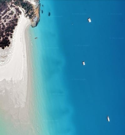
Remote sensing integration:
Incorporates satellite and aerial imagery
Enhances surface geological interpretations
Time-series analysis:
Tracks changes in geophysical data over time
Useful for monitoring phenomena like ground deformation or resource depletion
Cartography:
Produces high-quality maps for reports and presentations
Communicates complex geophysical information effectively
Field work support:
Provides mobile GIS solutions for data collection in the field
Improves accuracy and efficiency of on-site work
Risk assessment:
Maps hazard zones (e.g., earthquake-prone areas)
Assists in planning and mitigation strategies